Site
History
The hydrological research catchment Rietholzbach has been established and equipped in 1975/76 by the Laboratory of Hydraulics, Hydrology and Glaciology (VAW) of ETH Zürich, under the supervision of Prof. Herbert Lang, Dr. Bruno Schädler and Dr. Boris Sevruk. It has been part of the ETH Institute of Atmospheric and Climate Science (formerly Institute of Geography) since 1983, and is operated by the group of Prof. Sonia Seneviratne since 2007. It is one of several external pageresearch catchments of the Federal Office for the Environment (external pagebafu).
Location
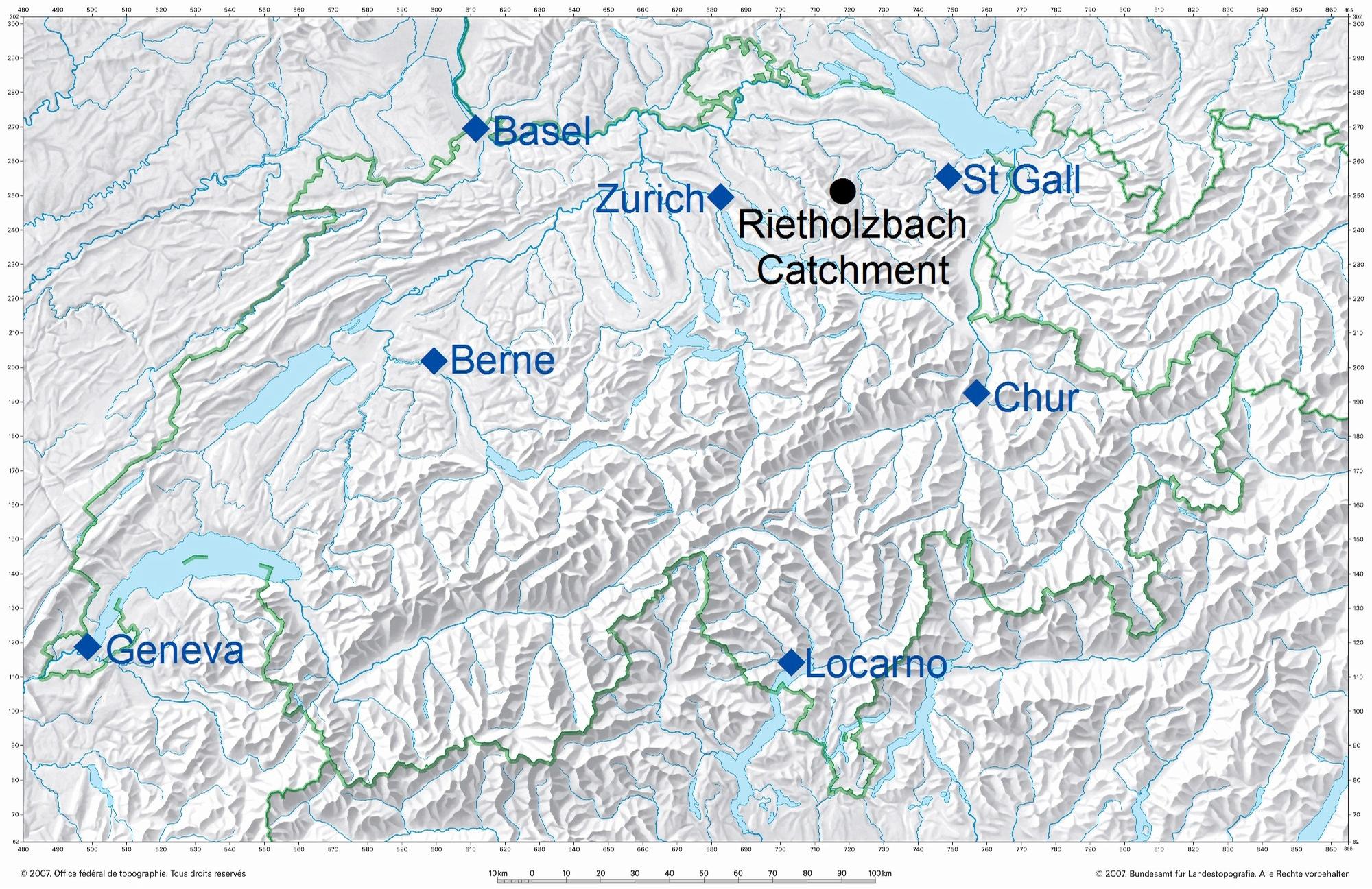
The Rietholzbach catchment is a small, hilly pre-alpine basin situated in the middle part of the basin of the Thur, a tributary to the Rhine. Its area is 3.31 km2 and covers an altitude range between 682 and 950 m a.s.l., with a mean slope of 12.5°. The main creek Rietholzbach rises in the West and flows to the East, having a length of 2.2 km.

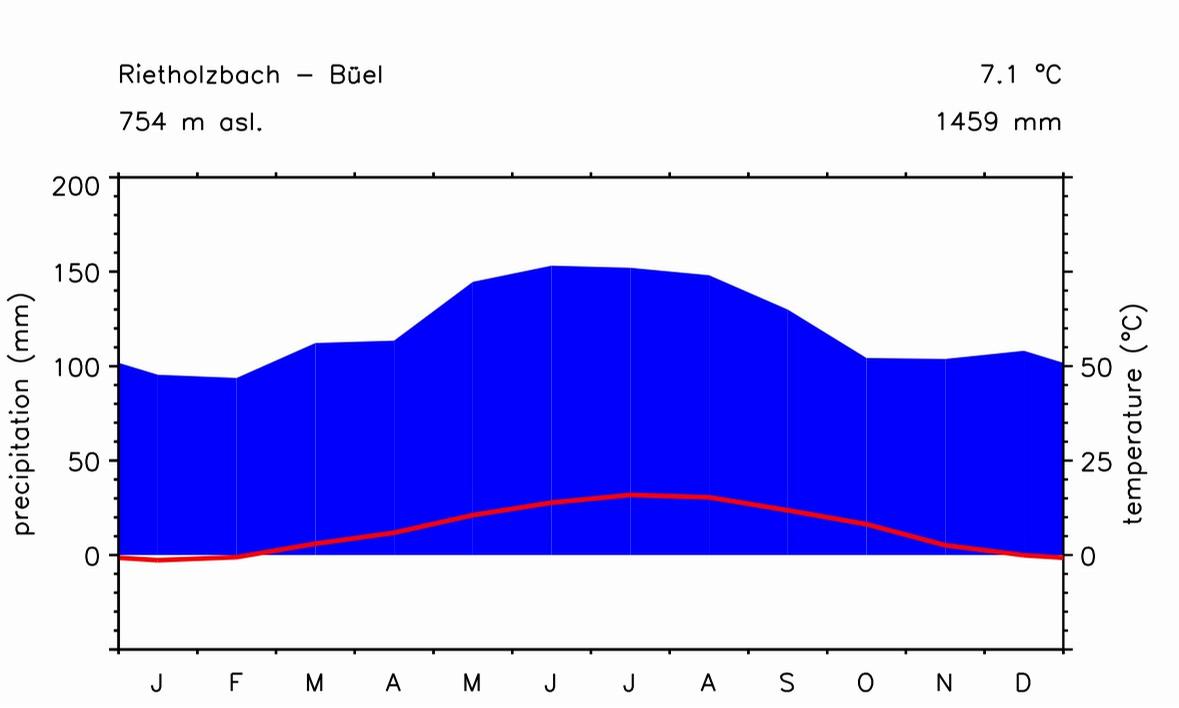
Climatology
Geology
The geology of the catchment is characterized by Tertiary deposits of the Upper Freshwater Molasse composed of consolidated clastic sediments such as conglomerates 'Nagelfluh', sandstones, layers of marls and banks of freshwater limestone. In the lower part of the catchment, there are also Pleistocene gravel pockets that represent Würm glacial moraines (e.g. Hantke 1967, Hottinger et al. 1970, Balderer 1979, Bürgisser 1981, Krayss and Keller 1994).
Hydrogeology
The conglomerates 'Nagelfluh', sandstones, and the Quaternary glacial deposits can be particularly regarded as groundwater aquifers with medium to high hydraulical conductivities and relatively large storage capacities. Using a comparison of water balance in two neighboring catchments, Balderer (1982) showed that the Tertiary Upper Freshwater Molasse as well as the Quaternary glacial deposits sere as base flow reservoirs. Balderer (1979, 1983) analyzed the Upper Freshwater Molasse as a heterogeneous system of interconnected aquifer layers. A special characteristic of the Rietholzbach basin is that the surface and the subsurface catchment are identical.
Soil
The parent rock types, mainly lime and dolomite coarse gravels and the relief have produced a large variety of soil types (Germann 1981). They can be summarized in a group of less permeable gley soils (42 % of the area, mainly in the lower parts of the catchment) and a group of relatively more permeable regosols and cambisols (58 % of the area, mainly on the slopes). Soil depth is strongly variable and ranges from about 50 cm at steep slopes up to 2 m in the bed of the valley.
Land use
The area is sparsely populated, primarily used as pasture land (67 %) and about one forth is forested. The grassland is accompanied by a network of private drainage systems. The land use is about constant since the start of the measurements in 1975.